MANILA, Philippines — A very strong storm named Podul (its international name) is getting closer to the Philippines. The country’s weather experts, Pagasa, said on Sunday at 5 p.m. that this storm might become even stronger and turn into a typhoon once it enters the Philippine Area of Responsibility (PAR).
Pagasa explained that Podul could enter our area either late Sunday night or early Monday morning. Once it officially enters, it will be given a new local name: Gorio.
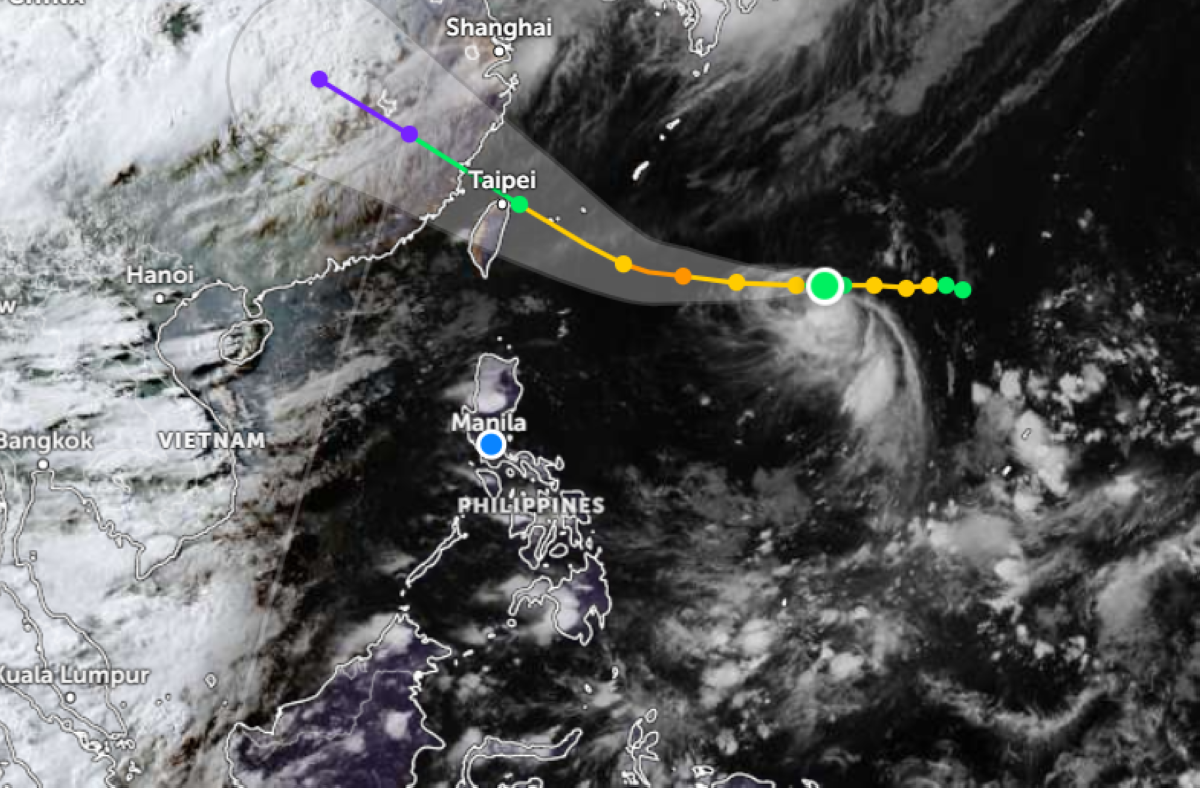
Where is the storm now?
As of 3 p.m. Sunday, weather specialist Charmagne Varilla reported that Podul was still far — about 1,595 kilometers east of extreme Northern Luzon — but it is moving west toward the Philippines at 20 kilometers per hour.
Possible Storm Warnings Ahead
According to Pagasa’s analysis, there is a chance they might raise storm warning signals, especially for Batanes, if Podul suddenly moves more toward the south.
When will it leave?
Pagasa predicts that Podul will probably leave the Philippine area by Wednesday.
Rainy Days Continue
Even before Podul arrives, the southwest monsoon or habagat is still bringing rain to many parts of the country. This means some areas may have light to moderate rain, while others could get heavy rain and thunderstorms.
People are advised to stay alert, keep safe, and watch for updates from Pagasa.