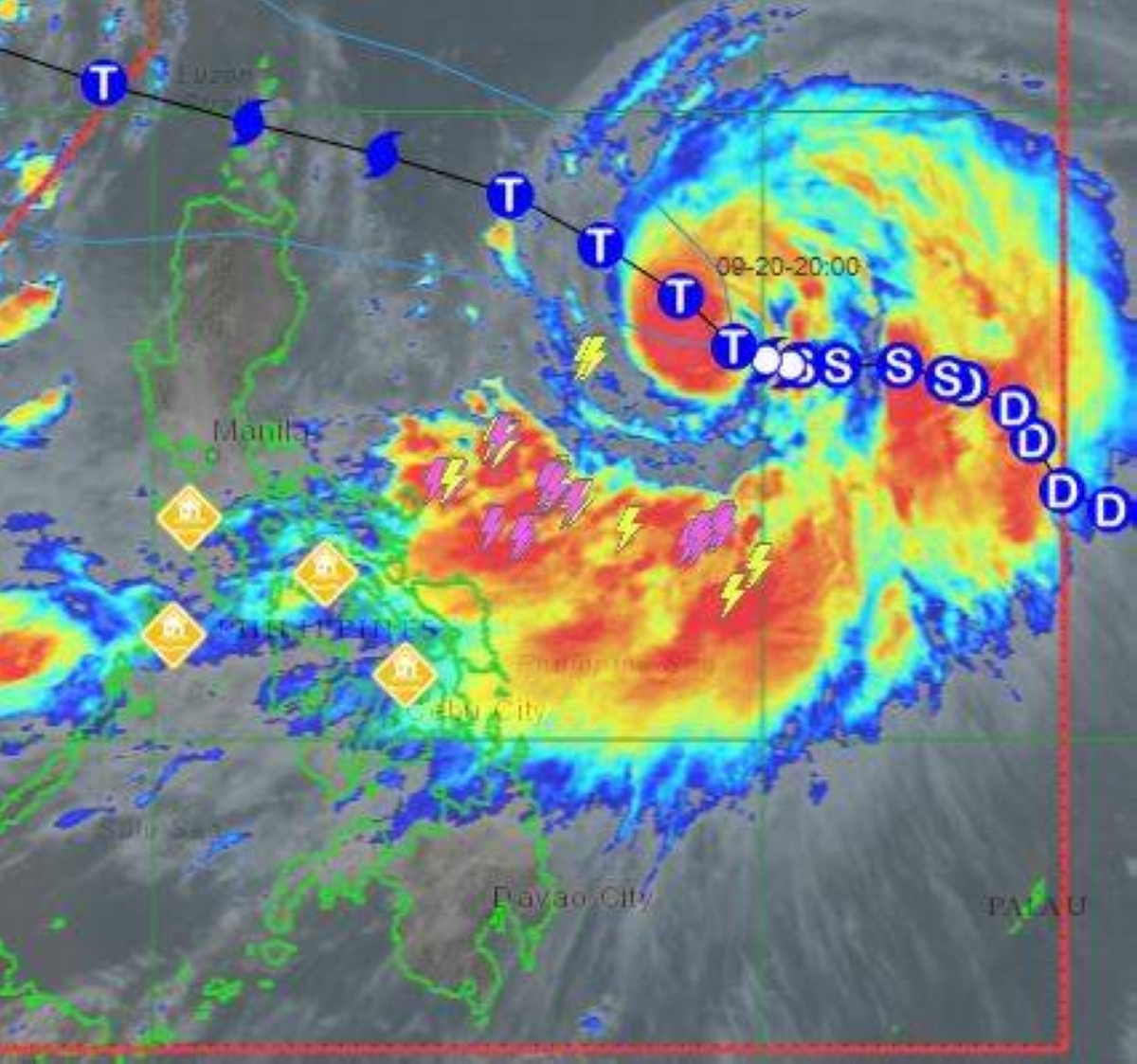
MANILA, Philippines — The Philippine Atmospheric, Geophysical and Astronomical Services Administration (Pagasa) announced that “Nando” has intensified into a typhoon.
In its 11 a.m. bulletin, the weather bureau said Nando would enhance the southwest monsoon (“habagat”), with storm signals expected to be raised later in the day.
“Nando will enhance the southwest monsoon as it approaches the landmass. Wind Signal No. 1 will be hoisted over Northern Luzon and the eastern portion of Central Luzon this afternoon, and the highest Wind Signal that may be hoisted throughout its passage is Wind Signal No. 5,” the weather bureau said.
Nando’s center is 775 kilometers east of Casiguran, Aurora.
Its movement is at west-northwestward at 10 km per hour with maximum sustained winds of 120 kph near the center and gustiness of up to 150 kph.
No storm signals were raised as of posting time.
The storm is expected to make landfall over Batanes or Babuyan Islands between Monday afternoon or evening and was expected to exit the Philippine Area of Responsibility on Tuesday morning.